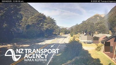
Te Horo › South: SH1 Jim Winiata Way
![]() Te Horo, Uus-Meremaa
Te Horo, Uus-Meremaa
Real-Time Environment
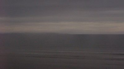
Welcome to the live streaming webcam for Te Horo › South: SH1 Jim Winiata Way, perfectly situated in the vibrant region of Te Horo, Uus-Meremaa. Watching this live camera allows you to instantly experience the local atmosphere and monitor current climate conditions.

About Te Horo
Te Horo and Te Horo Beach are two localities on the Kāpiti Coast of New Zealand's North Island. Te Horo Beach is the larger of the two settlements and, as its name implies, is located on the Tasman Sea coast. Te Horo is located to the east, a short distance inland. They are situated between Peka Peka and Waikanae to the south and Ōtaki to the north. "Te Horo" in the Māori language means "the landslide".
📖 Read more on Wikipedia📍 Location Facts
-
Country
 Uus-Meremaa
- Region Wellington
- City Te Horo
- Coordinates -40.7897°N, 175.1319°E
Have you been to Te Horo?
Help the community! Share your experience, tell us about the weather, or upload your own photos from this exact location.