Chilpancingo › West: C168) WB 905 : SR-11 Enrico Fermi 2
![]() Chilpancingo, Mehhiko
Chilpancingo, Mehhiko
Chilpancingo, Mehhiko
Real-Time Environment
⏳
Loading...
Fetching weather
km/h
--:--
Loading date...
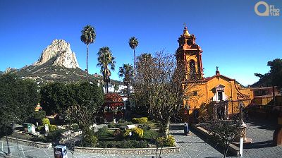
Welcome to the live streaming webcam for Chilpancingo › West: C168) WB 905 : SR-11 Enrico Fermi 2, perfectly situated in the vibrant region of Chilpancingo, Mehhiko. Watching this live camera allows you to instantly experience the local atmosphere and monitor current climate conditions.

About Chilpancingo
Chilpancingo de los Bravo on Mehhiko Guerrero osariigi pealinn ja suuruselt teine linn. 2020. aastal elas seal 283 354 inimest.
📖 Read more on Wikipedia📍 Location Facts
-
Country
 Mehhiko
- Region Baja California
- City Chilpancingo
- Coordinates 32.5647°N, -116.9282°E
Have you been to Chilpancingo?
Help the community! Share your experience, tell us about the weather, or upload your own photos from this exact location.
Interests
Liiklus
Explore other categories in Mehhiko
More Webcams in Mehhiko

Frequently Asked Questions
Webcam.beer is a premium global directory of live streaming webcams. We curate and index thousands of real-time cameras from around the world, allowing you to instantly check weather conditions, explore famous tourist spots, view city traffic, and discover beautiful landscapes all in one place.
Yes! The vast majority of the cameras in our network are real-time, live video streams. Some remote or scientific cameras may provide frequently updated high-resolution imagery due to bandwidth constraints in those specific locations.
Absolutely. Browsing, watching, and exploring the webcams on our platform is 100% free. You do not need to pay or create an account to view the live streams.
We love community contributions! You can easily submit a live stream by clicking the 'Add Cam' button in the main menu. Once submitted, our moderation team will review the camera to ensure it meets our quality and safety guidelines before it goes live on the platform.